We interviewed our EyeVi Business Line Manager to find out how they increase the efficiency of their fleet during mobile mapping projects. Here’s a little hint – they use our own fleet management and monitoring solution AVL (Asset and Vehicle Location).
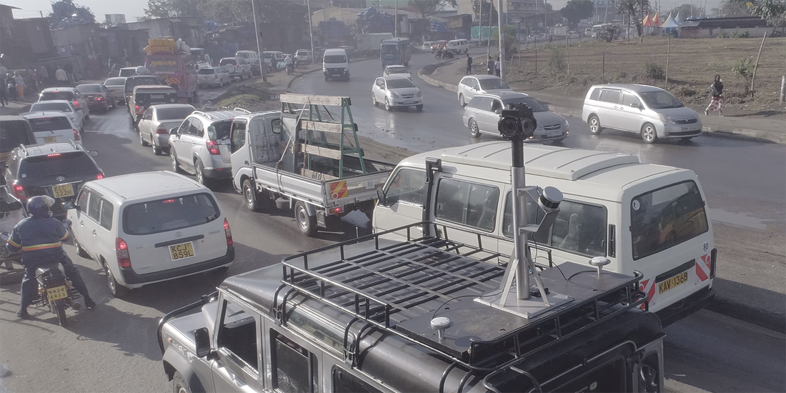
EyeVi team mobile mapping in Kenya
What is EyeVi?
EyeVi is a web-based application that allows its users to observe urban or rural environments, perform measurements, collect data, and share information without leaving the office. To create this virtual environment, we use technology that combines 360° panoramic images, close-range orthophoto, LIDAR scanning data, and the city’s existing spatial database into a 3D urban environment. All three types of views are collected with our own car-mounted mobile mapping system.
Why AVL?
We have used AVL for managing our fleet in several Reach-U EyeVi mobile mapping projects, and it has increased our work efficiency significantly. Using AVL helps us to cover more kilometers in shorter timeframes, while also keeping our vehicles safe, and maintaining a reasonable workload for our project manager.
How does the project manager use AVL?
Each morning, the project manager wants an instant overview of where the vehicles are, and what their status is. When looking at the map, the project manager has a complete overview of the locations of vehicles at any time. But creating and assigning geofences to vehicles also allows the manager to receive notifications about various events that may otherwise go unnoticed.
In our case, every morning the project manager assigns an area to be covered for each vehicle, and creates the corresponding geofence – also adding a time period when the vehicle must be in the area. When a vehicle enters or leaves the working area, the project manager receives an immediate notification. Geofences are also created for each vehicle's night-time parking place (driver’s home, secured parking lot, etc.). This enables the project manager to get notifications when a vehicle has arrived safely at its after-hours parking spot, or if the vehicle disappears unexpectedly.
Different notification channels are defined based on the importance of events. For critical events (for example, a vehicle leaving a parking lot after hours) the notifications are sent directly to the project manager’s smart phone as SMS; for informative events (such as vehicles entering the working area in the morning) the notifications are sent only via email.
EyeVi equipment is said to be somewhat sensitive to clouds and bad weather. How do you cope with that?
Good weather conditions play an important role in successful mobile mapping with EyeVi equipment. Fortunately, AVL enables users to combine different map layers, so they can easily consider the weather information when planning the routes and re-routing vehicles. For example, if the project manager notices that the working area assigned to a vehicle will be covered with thick clouds in a few hours, he can select a new area on the map and send the information to the driver. The driver receives a notification specifying the new area, as well as what time they should start covering the area, and can continue working smoothly despite changing weather conditions.
Integrating weather information is only one example – similar integrations can also be done with other datasets.
Are there any other useful tools in AVL?
Fast and accurate information exchange between the project manager and the drivers is highly important. This is another part of the workflow where AVL can help. In addition to the information about changing weather conditions and new working areas, the project manager can also inform drivers about a common meeting place and time, or a service appointment, etc.
AVL is also helpful in solving unexpected problems, for example if a vehicle runs out of fuel in a remote area. The project manager can send help to the vehicle by finding and contacting another nearby vehicle, and providing directions to its driver. Monitoring both vehicles on the map in real time makes the task much simpler.
How can the project manager keep track of the whole project?
Various reports give the project manager a detailed overview of the project's status. For example:
How would you summarize the benefits of using AVL?
EyeVi is a web-based application that allows its users to observe urban or rural environments, perform measurements, collect data, and share information without leaving the office. To create this virtual environment, we use technology that combines 360° panoramic images, close-range orthophoto, LIDAR scanning data, and the city’s existing spatial database into a 3D urban environment. All three types of views are collected with our own car-mounted mobile mapping system.
Why AVL?
We have used AVL for managing our fleet in several Reach-U EyeVi mobile mapping projects, and it has increased our work efficiency significantly. Using AVL helps us to cover more kilometers in shorter timeframes, while also keeping our vehicles safe, and maintaining a reasonable workload for our project manager.
How does the project manager use AVL?
Each morning, the project manager wants an instant overview of where the vehicles are, and what their status is. When looking at the map, the project manager has a complete overview of the locations of vehicles at any time. But creating and assigning geofences to vehicles also allows the manager to receive notifications about various events that may otherwise go unnoticed.
In our case, every morning the project manager assigns an area to be covered for each vehicle, and creates the corresponding geofence – also adding a time period when the vehicle must be in the area. When a vehicle enters or leaves the working area, the project manager receives an immediate notification. Geofences are also created for each vehicle's night-time parking place (driver’s home, secured parking lot, etc.). This enables the project manager to get notifications when a vehicle has arrived safely at its after-hours parking spot, or if the vehicle disappears unexpectedly.
Different notification channels are defined based on the importance of events. For critical events (for example, a vehicle leaving a parking lot after hours) the notifications are sent directly to the project manager’s smart phone as SMS; for informative events (such as vehicles entering the working area in the morning) the notifications are sent only via email.
EyeVi equipment is said to be somewhat sensitive to clouds and bad weather. How do you cope with that?
Good weather conditions play an important role in successful mobile mapping with EyeVi equipment. Fortunately, AVL enables users to combine different map layers, so they can easily consider the weather information when planning the routes and re-routing vehicles. For example, if the project manager notices that the working area assigned to a vehicle will be covered with thick clouds in a few hours, he can select a new area on the map and send the information to the driver. The driver receives a notification specifying the new area, as well as what time they should start covering the area, and can continue working smoothly despite changing weather conditions.
Integrating weather information is only one example – similar integrations can also be done with other datasets.
Are there any other useful tools in AVL?
Fast and accurate information exchange between the project manager and the drivers is highly important. This is another part of the workflow where AVL can help. In addition to the information about changing weather conditions and new working areas, the project manager can also inform drivers about a common meeting place and time, or a service appointment, etc.
AVL is also helpful in solving unexpected problems, for example if a vehicle runs out of fuel in a remote area. The project manager can send help to the vehicle by finding and contacting another nearby vehicle, and providing directions to its driver. Monitoring both vehicles on the map in real time makes the task much simpler.
How can the project manager keep track of the whole project?
Various reports give the project manager a detailed overview of the project's status. For example:
- What is the total time and distance driven?
- How many unique kilometers were covered within a day?
- How much time did the vehicles spend in the parking lots and in service?
- What is the fuel consumption of each vehicle?
- How much of the planned area has already been covered?
- What is the estimated time to cover the entire planned area?
How would you summarize the benefits of using AVL?
- Increased vehicle security
- Overview of vehicles’ locations at any time
- Increased work efficiency of both the fleet manager and the drivers/vehicles
AVL is a fleet management and monitoring tool that increases the efficiency and safety of vehicle parks. While managing a vehicle park, it is crucial to have a good overview of the journey routes, to keep an eye on both the driver's real-time activities and the condition of the equipment. It does not matter if it is trucks or taxis – with AVL you will always have the necessary information.
Find out more at: http://www.reach-u.com/asset-and-vehicle-location.html
Want to know how AVL can help solve your own fleet management challenges? Get in touch with us at [email protected]
Find out more at: http://www.reach-u.com/asset-and-vehicle-location.html
Want to know how AVL can help solve your own fleet management challenges? Get in touch with us at [email protected]